fbpx

Doyang River

  • 4.3

    Location: Wokha,Nagaland.

    Visiting time: 1-2 hours.

    Phone number not available
    Website not available

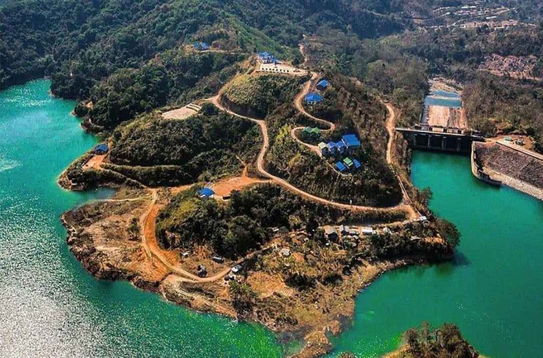
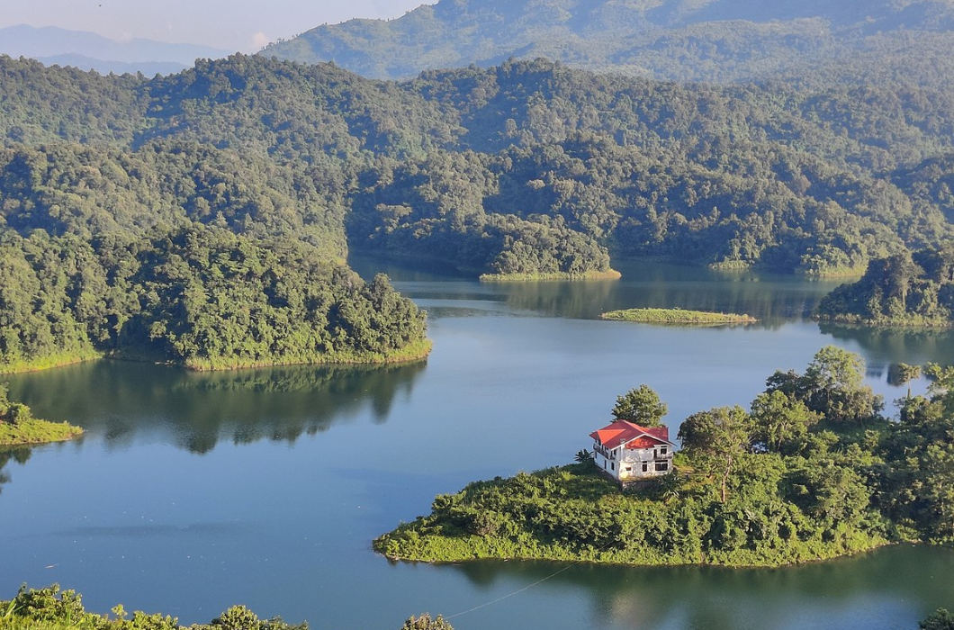
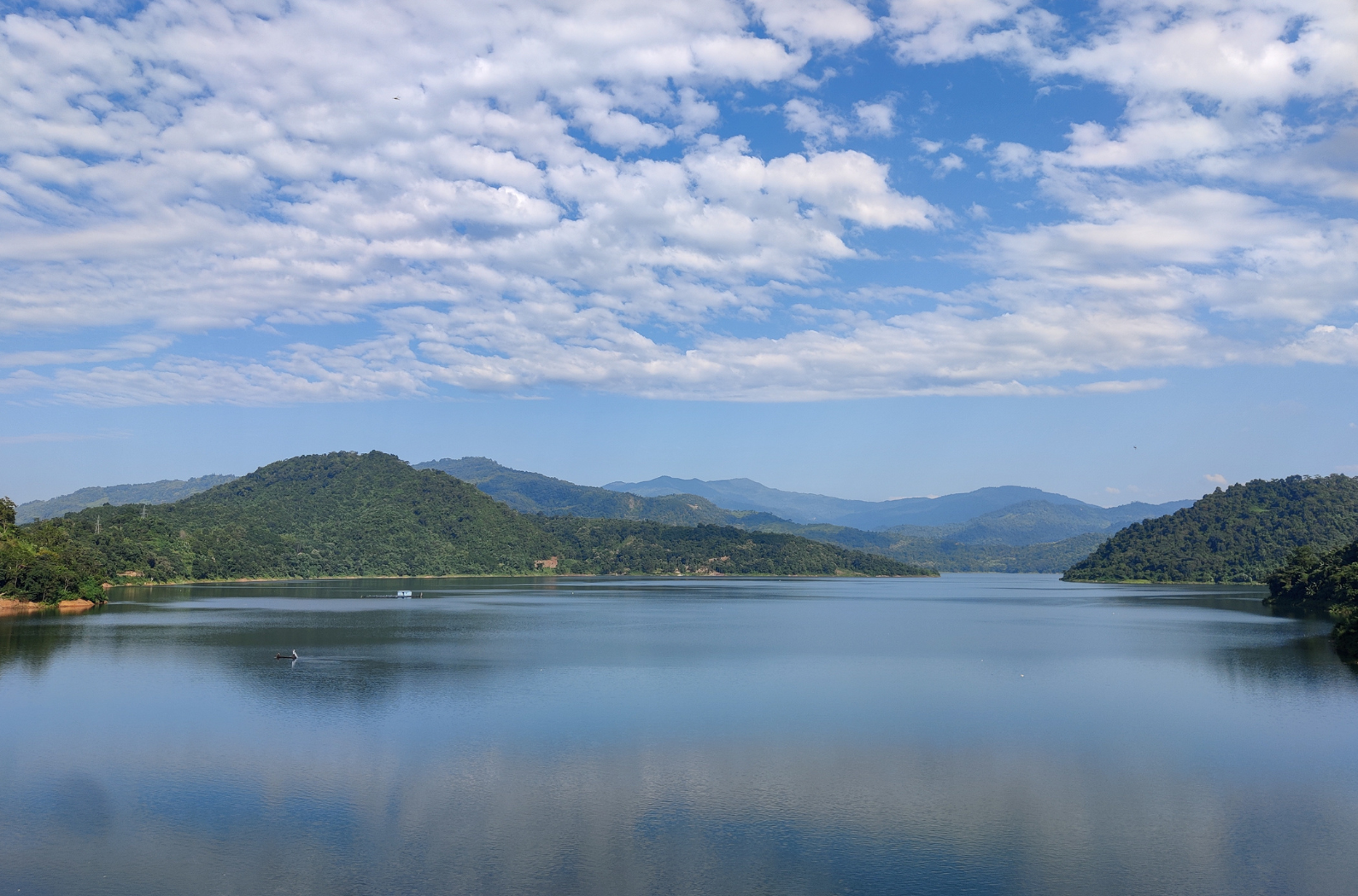
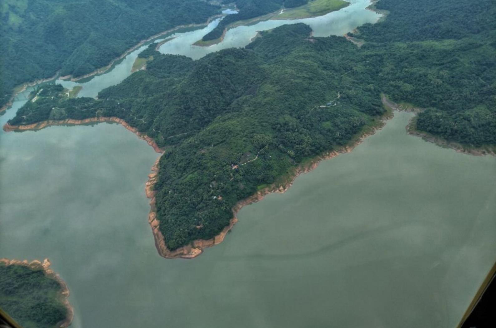
    One of the most important rivers in the district is the Doyang river. It is the longest and biggest river running near the state’s southern boundary. The Angami people call it Dzu or Dzulu in whose area it rises. It first flows almost due north,  when it obtained an addition of Saju, an eastward parallel tributary, slightly turn towards east. Still flowing northwestward, the river then enters the Zunheboto district.  Between Sema and Lotha areas, it, later on, forms a boundary line. It makes a westward bend in the west of Litami and emerged in the western Lotha area in Wokha district, and proceeds to the southern border of the district,  for the plains west of Koro village and then finally falls in the Dhansiri river of Assam valleys, it suddenly turns westward and then debouches the hills.

    Attraction

    With the mighty Doyang River flowing, owing to the locale of the project, Doyang Hydro Project is a benchmark tourism spot.  This place is a marvelous place, With many wild animals like monkeys, snakes, etc, living nearby in the forest, to be at with a panoramic view of several villages of Wokha and Mokokchung District. With its surrounding forests and water sports options, the Doyang River is one of the major places to visit. You can also enjoy a wonderful picnic and do river fishing by the banks of the Doyang River.

    History

    Place view of Doyang River

    From other districts, many small hill streams have fallen into Doyang and its central and western parts.  Such as Tsui, Tullo, and Taishi, it has got three main tributaries. The combined water of Keleki and Tangki streams is Tullo,  in the Sema area, and Taishi joins it. Doyang is not only the major river for the Wokha district alone but it is also equally a major river in the state of Nagaland.  The modern system of cultivation like a terrace is being carried out successfully, in the valley along the Doyang river, especially in two particular areas near Pangti village called “Pofu hay” and “Tentsu hay”.

    Inside/Outside Views

    Amazing view of Doyang river at Wokha Nagaland.

    A calm and quiet river that will make your mind refreshed and free from tensions.

    Opening Hours

    Open all times of the day.

    Entry & Others Fees

    No entry fee is required.

    How to Reach

    By Air: The nearest airport is Dimapur Airport which is well-connected with major cities in India and can be easily reached. One can hire taxis from outside the airport and reach the desired destination.

    By Rail: The nearest railway station is also the Dimapur railway station and from there, several taxis are available to reach the attraction, doing the hydro project.

     By Road: From nearby towns and cities, it’s also easy to get state buses. From Wokha Hq. via Wokha–Merapani Rd 52 mins needed.

    Tips for Travellers

    Wherever you visit you need to be safe side always. You should be prepared to face any kind of challenging situation while visiting anywhere for the first-ever time.

    FAQ

    Que: Is this place safe to visit?

    Ans: Yes, it is safe to visit.

    Que: Is photography allowed in this place?

    Ans: Yes, photography is allowed there.

    Que: What is the best time to visit there?

    Ans: The months of October and February. This is the time when the weather is cool, and comfortable without any rainfall.

    We wish you all the best for your journey. Happy Travel!!!

    Share On Social:
    Facebook
    Twitter
    Pinterest
    WhatsApp

    Near Places

    More Places